ProductsProperty Markup
Property Markup
Annotated aerials, boundaries and dimensions.
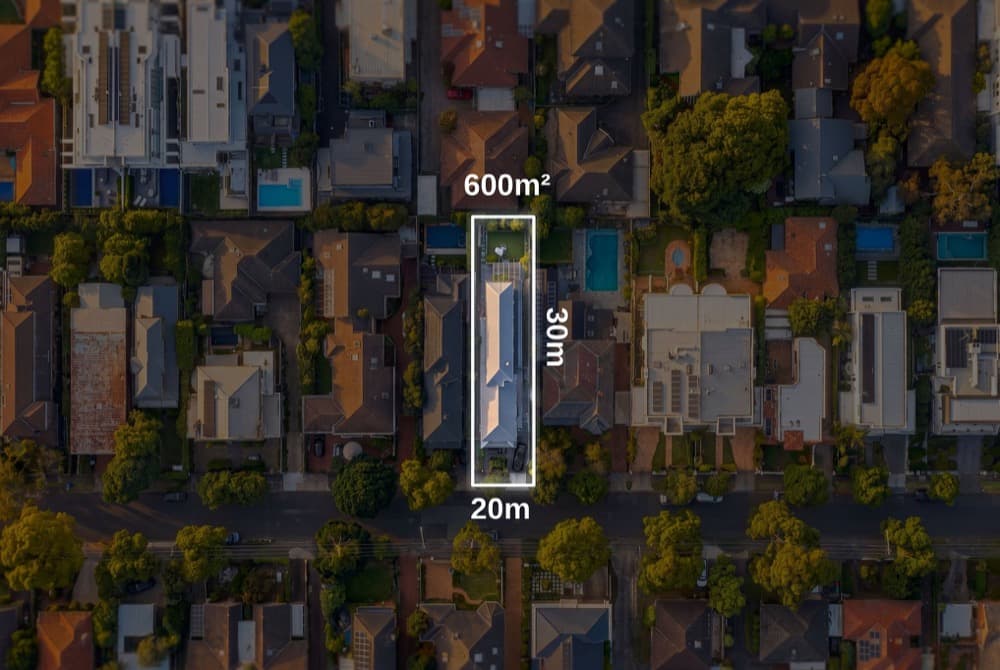
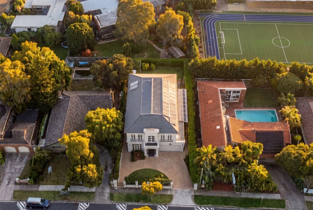
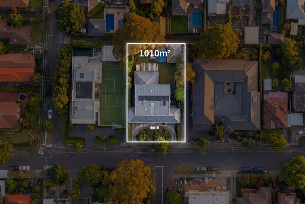
Generate annotated aerial imagery with property boundaries, lot dimensions and proximity to key amenities, straight from an address.
/v1/property-markup
How it works
1
Send an address
Pass an address and the layers you want rendered.
2
We annotate
Boundaries, dimensions and amenities are drawn onto the aerial.
3
Delivered back
A signed webhook returns the marked-up image to your product.
One endpoint
Call it with one request.
Send the request, get a job back, and a signed webhook delivers the finished asset to your product. No polling, no model code to maintain.
- Show lot size and boundaries at a glance
- Highlight proximity to schools and transport
- Land and development listings
request.sh
curl -X POST \
https://api.dometech.com.au/v1/property-markup
-H "X-API-Key: dome_live_sk_..." \
-d '{ "address": "42 Wallaby Way, Sydney", "layers": ["boundary", "dimensions"] }'
# 202 Accepted
{
  "job_id": "job_abc123",
  "status": "queued"
}
Generated by DomeTech